Family Hike around Lake Resia
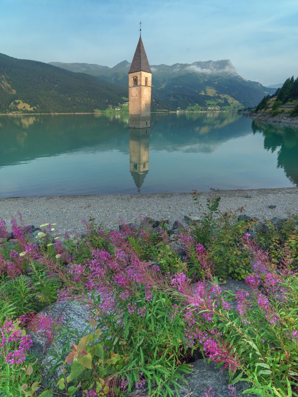
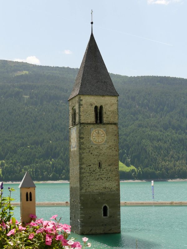
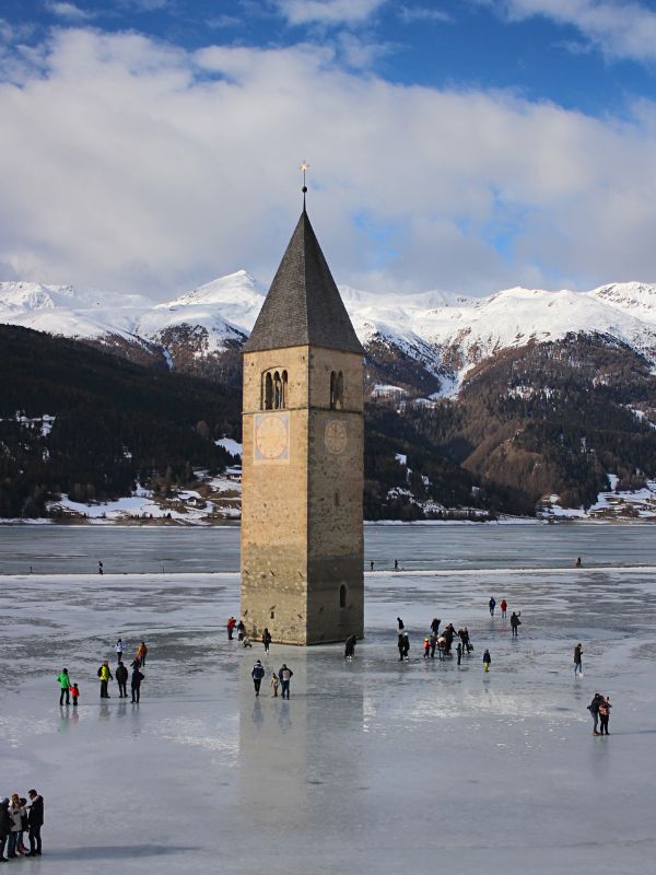
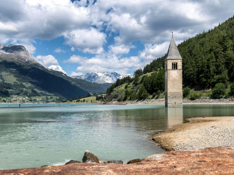
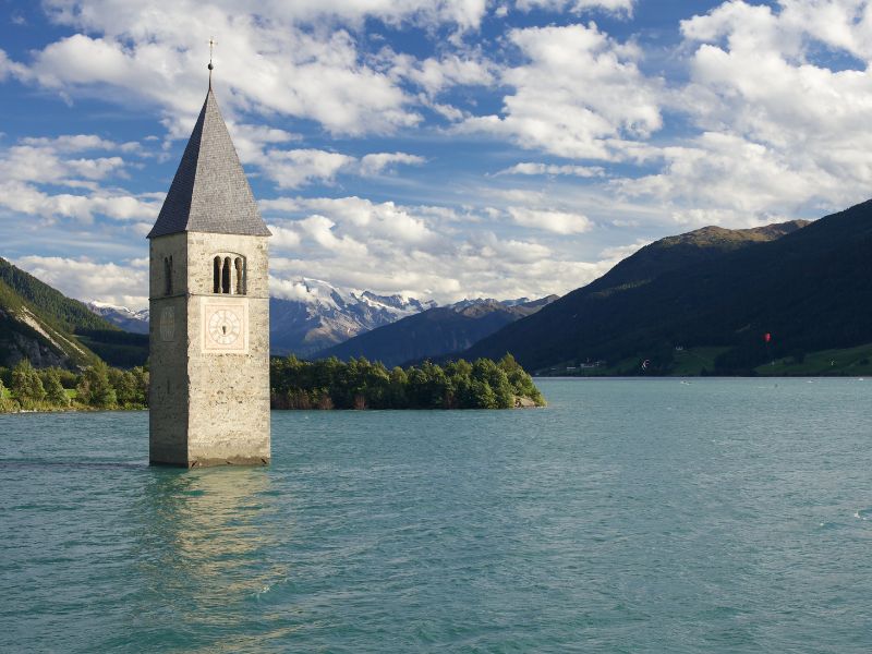
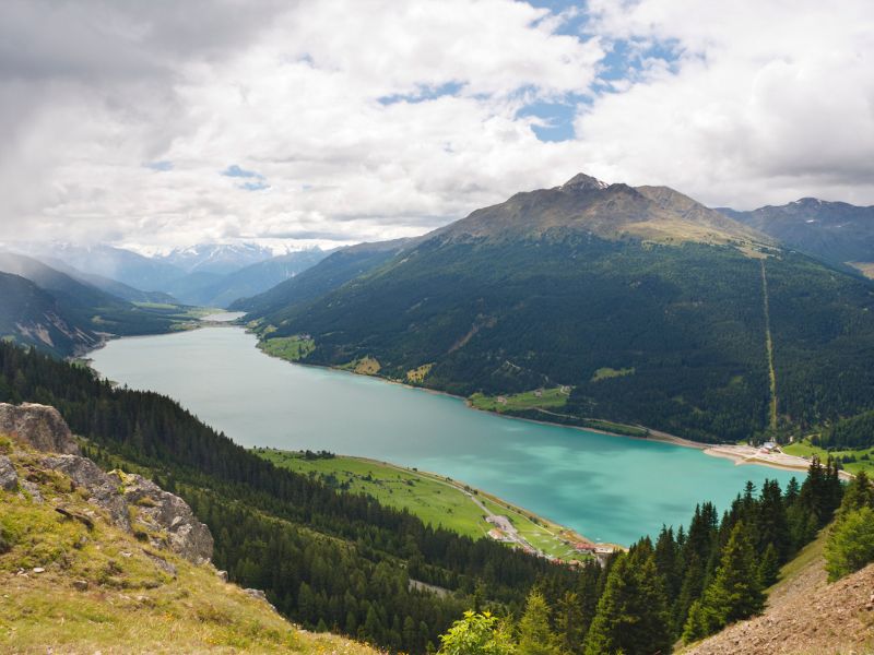
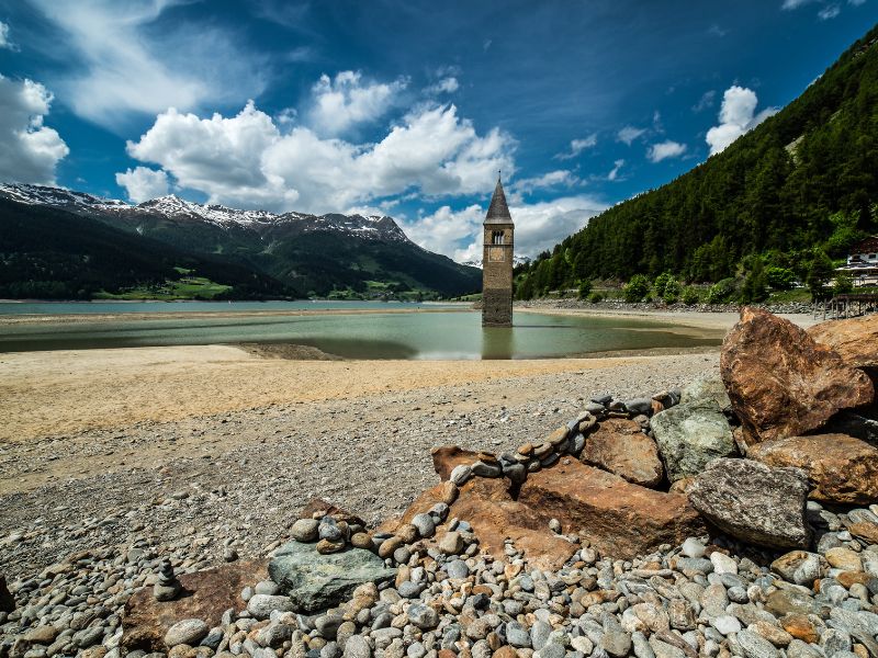
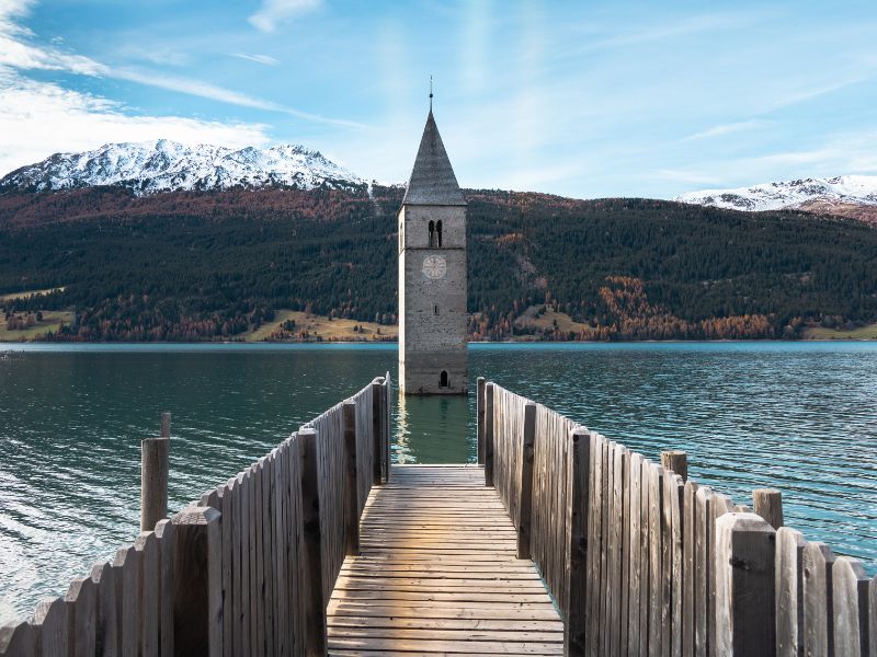
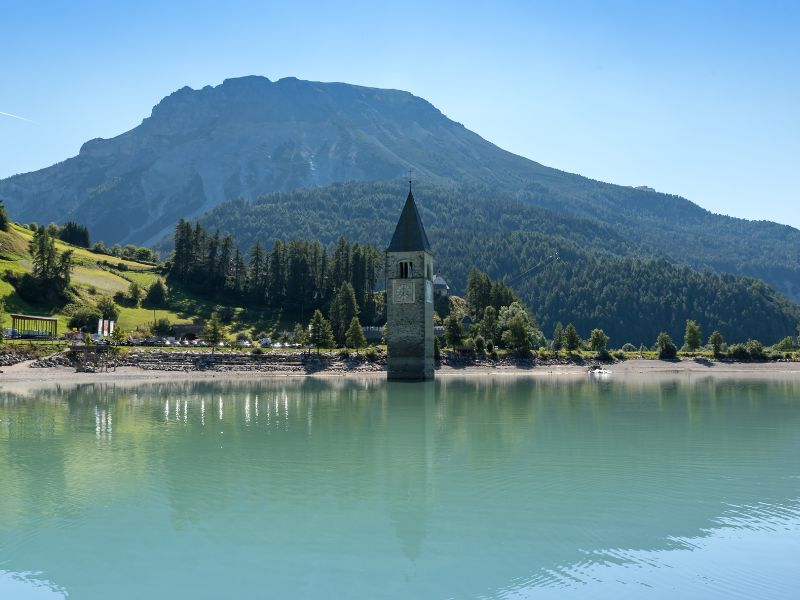
A church tower in the middle of the lake? Yes – and you can see it with your own eyes on this scenic family-friendly hike around Lake Resia! The route is long but perfectly suitable for strollers, bikes, and balance bikes.
- Region: Venosta Valley
- Categories: By the water, stroller-friendly, for super motivated kids
- Seasons: Spring, summer, autumn, winter
- Duration: 4 h 30 min (loop hike)
- Elevation: 140 m ascent, 140m descent
- Distance: 15.7 km
- Difficulty: Moderate
- Starting point: Resia village – parking in the village center or parking area next to Restaurant Mein Dörfl
Route description
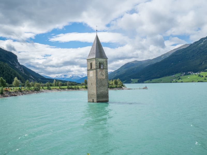
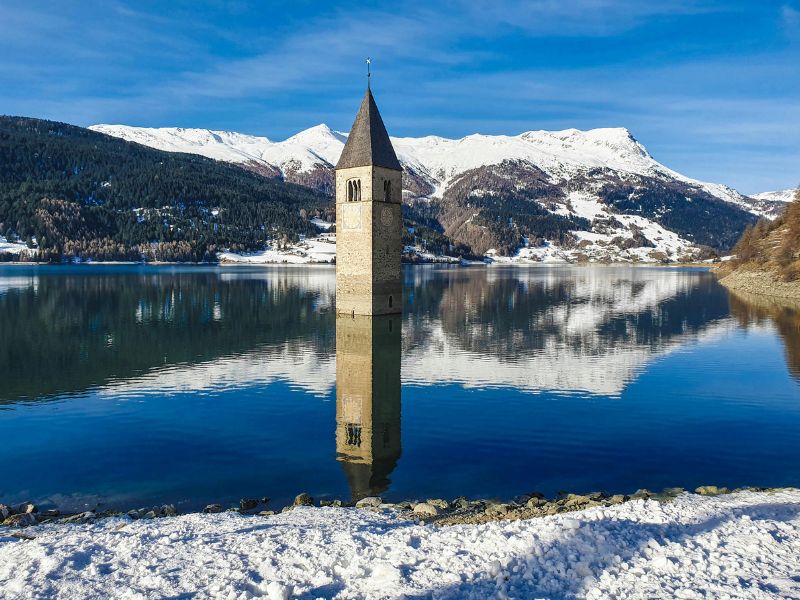
History: Just a few kilometers south of the Austrian border, at the Resia Pass, a striking sight awaits: the church tower of Old Curon rises eerily from the waters of Lake Resia. It’s the last visible remnant of the former village of Curon Venosta, which was flooded in 1950 to create a reservoir. Over 160 homes were demolished or submerged – only the church tower was left standing as a silent memorial to the lost village. This haunting image even inspired the Netflix mystery series “Curon”.
Tour overview: This scenic hike around the lake lets you experience this iconic landmark from multiple perspectives. The trail is flat and mostly paved, making it ideal for families – whether you’re walking with a stroller, pushing a balance bike, or riding alongside on a bicycle.
The full circuit is long (around 15 km), so you can also just walk a short stretch along the lakeshore and turn back whenever you feel like it. Alternatively, walk half the loop and take the public bus back – a very convenient option for families with small children.
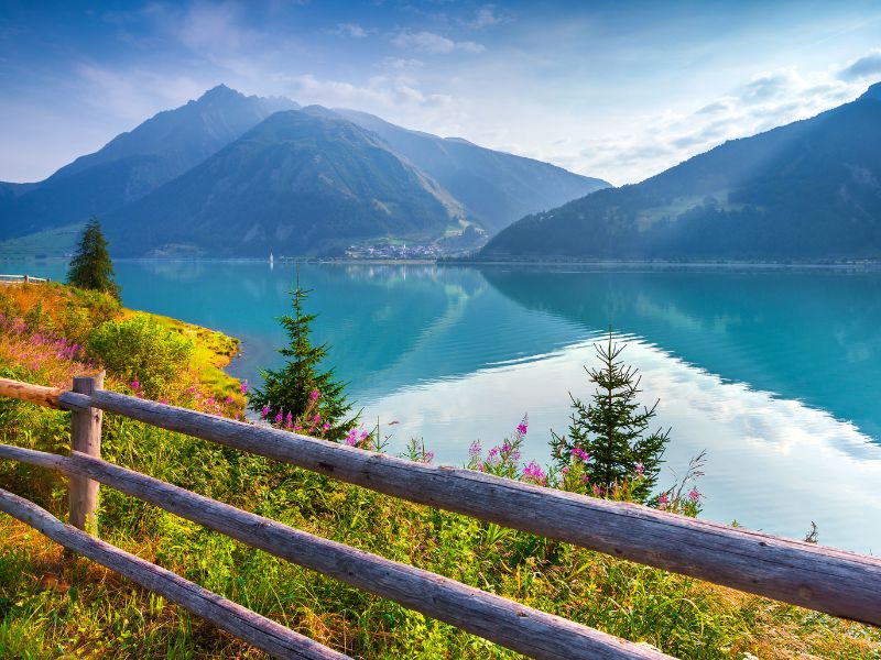
Route description: You can begin the circular hike from various points along the lake (e.g., Curon or San Valentino alla Muta), but in this version, we start in the village of Resia. Park either in the village center (Via Paese Vecchio) or at Restaurant Mein Dörfl. From there, follow the path to the lakeshore and begin your hike along the north end of the lake, where meadows open up and the views are breathtaking.
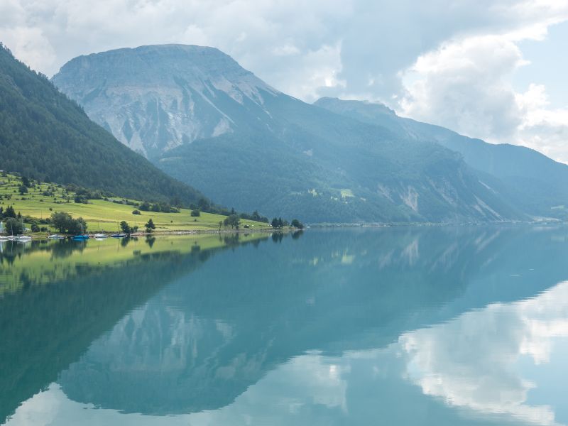
After a short walk, you’ll reach the western shore. The route passes by the valley station of the cable car and continues onto a wide, well-maintained cycling and walking path. From here, the trail gently descends southward – always with Lake Resia to your left and the dramatic peaks of the Alps all around.
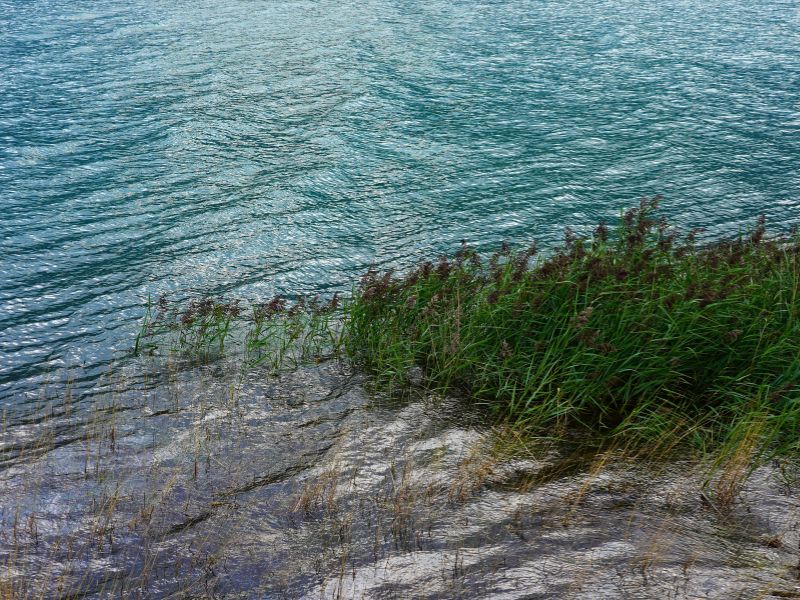
The paved surface is perfect for strollers, bikes, and scooters. Along the way, children can enjoy observing nature: dragonflies hover over colorful flowers, ducks swim along the shore, and with a bit of luck, you might spot fish in the clear water.
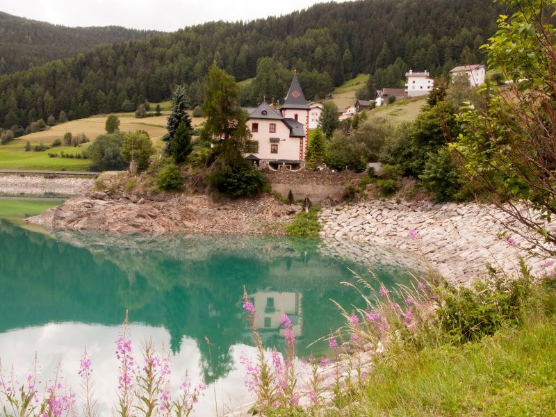
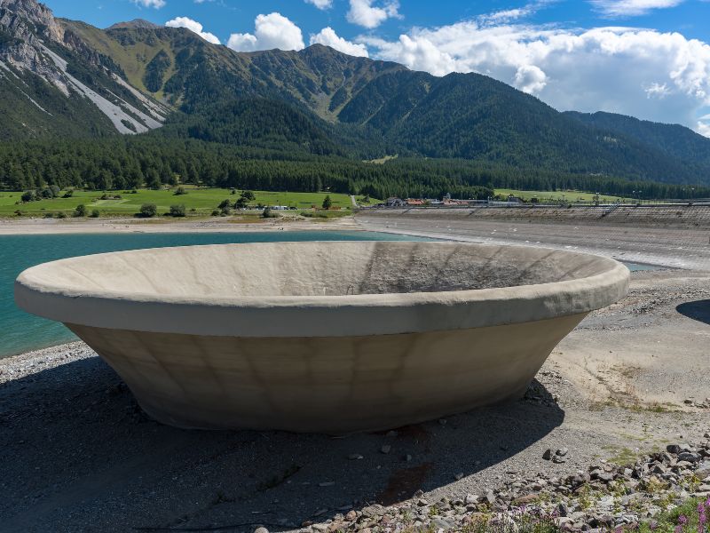
After about 8 km, you’ll arrive at the southern shore. Here it becomes clear that the lake is actually a reservoir – you’ll see the impressive hydroelectric plant and cross the massive dam wall to reach the eastern side.
The return leg of the loop takes you north along the eastern shore, following the lake back toward Curon and then to Resia – much of it running parallel to the Resia Pass road.
Good to know:
The full loop is about 15 km long, almost entirely flat and paved – easy to walk, but not to be underestimated due to its length.If needed, you can shorten the hike and take the bus back from halfway around the lake.Along the way, there are several places to stop and eat, such as Restaurant Mein Dörfl and the Giernhof.
Would you like to share feedback about this destination?
Feel free to share alternative routes, personal experiences, or tips.
This space is for exchanging ideas!

